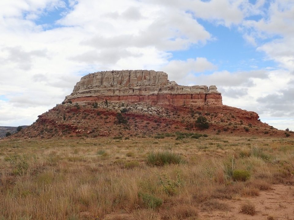
Steamboat Butte

Steamboat Butte
Image taken:
2019
by: Kent G. Budge
©
2019
Kent G. Budge
Longitude: -103.205691
Latitude: 36.978051
(WGS 84 or NAD 83)
About this image
This is a truly world-class example of an angular unconformity. The older beds of the Dockum Group at the base of the butte were tilted, beveled flat by erosion, and then Exeter Formation sandstone was deposited on top. The lower beds thus meet the upper beds at an angle.
More images from the 2019 Fall Field Conference to the Raton-Clayton Area are available.
Image posted: 02-12-2021